Image: U.K. MoD © Crown copyright 2024
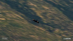
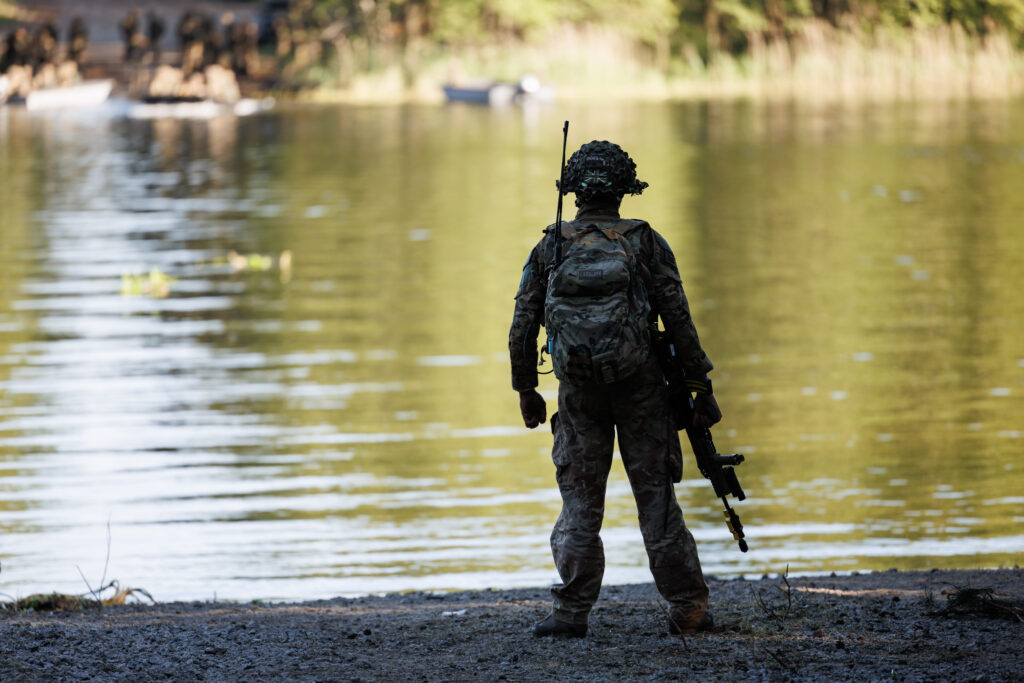
The British Army and Dstl are funding drone-based technology to remotely assess ground conditions and river crossings — tasks currently requiring troops to operate in exposed, hazardous environments.
UK Defence Innovation (UKDI) has launched a new funding competition seeking technology that can remotely survey terrain and waterways, removing the need for soldiers to conduct dangerous ground assessments in person. The initiative, titled Map the Gap (Phase 3), offers up to £2 million in funding and closes at midday on 16 June 2026.
The Problem
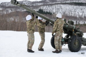
Royal Engineer reconnaissance teams currently assess ground and riverine environments manually before vehicle crossings. Soldiers measure ground bearing capacity and underwater river profiles on foot — exposing them to significant risk in operational environments.
UKDI states that previous competition phases demonstrated clear potential for autonomous and remote systems to eliminate this exposure. Phase 3 now seeks to accelerate that work into deployable solutions.
What the Competition Is Looking For
According to UKDI, proposals must address one or both of two defined technical challenges:
- Ground Bearing Capacity (GBC) measurement from an Uncrewed Aerial System (UAS)
- Underwater river profiling using sensors or payloads deployed from a UAS
Both challenges centre on a single operational need: giving commanders reliable, remotely gathered data on whether terrain can support the safe, rapid movement of land forces.
Funding and Contract Terms
UKDI expects to fund between three and four proposals across both challenge areas. Each successful applicant will receive a share of the £2 million pot, with contracts running for up to 15 months. VAT is excluded from the stated figure.
Industry and Defence Context
The competition reflects a broader shift across NATO-aligned militaries toward reducing soldier exposure during the reconnaissance phase of manoeuvre operations. Unmanned systems increasingly handle tasks once requiring direct human presence — from intelligence gathering to logistics — and terrain assessment is a logical next frontier.
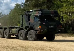
Riverine crossings remain a critical vulnerability for armoured formations. Accurate ground bearing data can determine whether heavy vehicles cross safely or become bogged — a potentially mission-critical failure point in high-tempo operations.
Key Dates
- Launch webinar: 5 May 2026 — open forum for questions, registration via Eventbrite
- One-to-one technical sessions: 13 and 15 May 2026 — 15-minute closed teleconference slots, bookable from 6 May on a first-come, first-served basis
- Proposal deadline: 12:00 BST, 16 June 2026
Find out more on the U.K. MoD Website